Spatial Data & 3D Models
LiDAR, photogrammetry, scene capture, open datasets
BROWSE THE NOTES :Spatial Data & 3D Models SpatialLabFollow the Journey
RESEARCH / BUILD / EXPLORE
I explore the intersection of AI, spatial computing, and human experience — building more intelligent, immersive, and connected worlds.
SPACE
WORLDS
PEOPLE
IDEAS
POSSIBILITIES
MAP
MODEL
SIMULATE
CREATE

SPATIAL DATA
REAL WORLDS
VIRTUAL WORLDS
BRIGHTER FUTURES
BUILD
EXPLORE
UNDERSTAND
TOGETHER
Building Immersive Worlds with Spatial Intelligence — 以空间智能,构建沉浸世界。
SpatialLab is an independent research project working through spatial intelligence layer by layer: photorealistic 3D vision, Gaussian Splatting, neural rendering, and world models — from real rooms toward interactive worlds.
Explore the ProjectCurrent stage: architecture foundation. Research plans and protocols are defined; no experimental results yet.
Technical notes are on the way — new write-ups will appear here soon.
LiDAR, photogrammetry, scene capture, open datasets
BROWSE THE NOTES :Spatial Data & 3D Models
3D rendering, spatial AI, visual understanding
BROWSE THE NOTES :Analysis & Visualization

Open source tools and reproducible workflows
BROWSE THE NOTES :Open Infrastructure
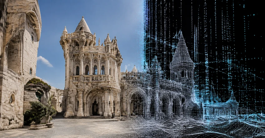 CONCEPT
Exploring urban reconstruction and interactive 3D environments.
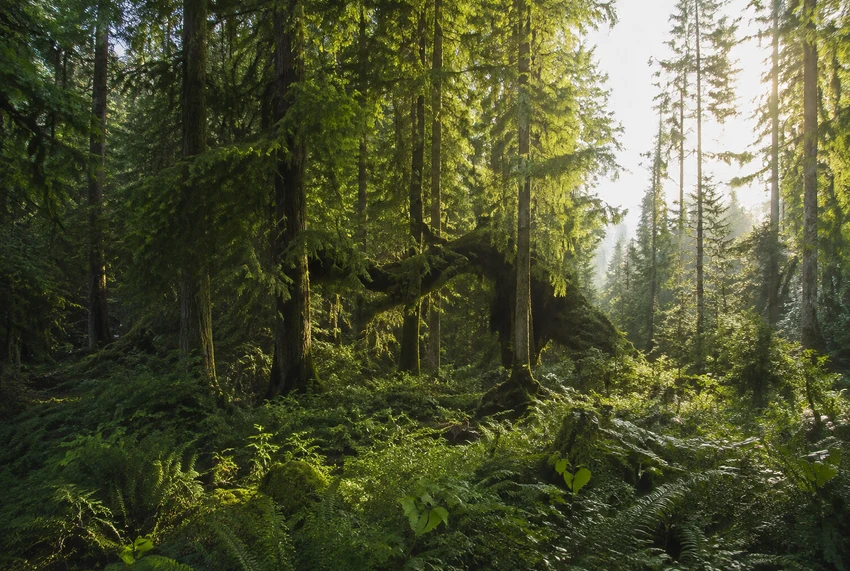 CONCEPT
Exploring natural environments through immersive visualization.
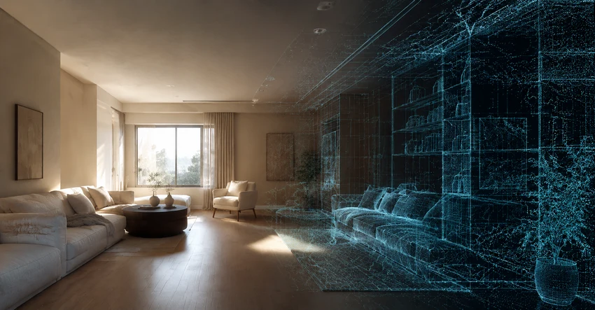 CONCEPT
Reconstructing and exploring interior spaces in 3D.
SAME PLANET
MORE
PERSPECTIVE
Follow the research notes, experiments, and ideas as the project unfolds. Email updates are not open yet — RSS is the best way to stay current.
Follow via RSSEXPLORE
LEARN
BUILD
BELONG